
Hiking in Valle
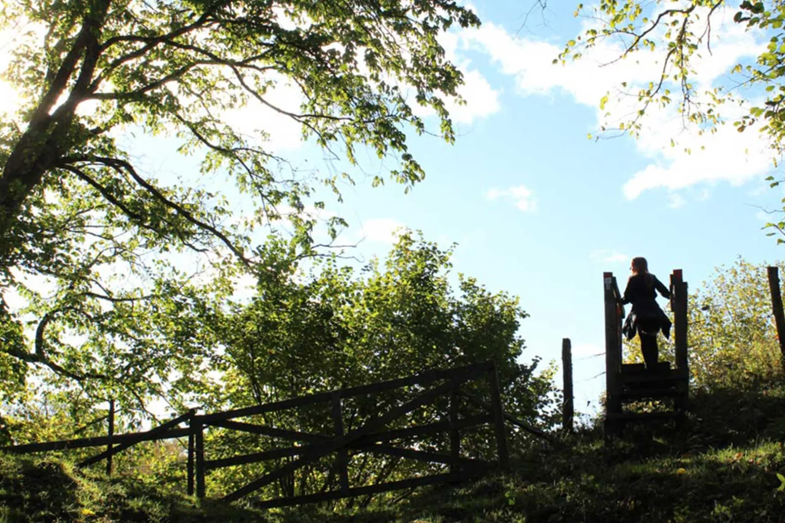
With us you just lace up your boots and go. The trail through the Ökull–Borregården nature reserve starts at the campsite, and we have also put together some walks of our own from here. If you want to go further, there are over 60 km of marked trails in the Valle district, with lakes, ridges and pastures all the way.
A landscape shaped by ice
The landscape here was shaped by the ice sheet, with hills, ridges and small lakes. Read more on the Valle area page.
Straight from the campsite
The Ökull–Borregården nature reserve lies right next to the campsite, and the trail starts at the football goal on the campsite grounds. It is about 4 km long and marked in orange, and at a relaxed pace it takes about an hour and a half. You cross the wet sections on boardwalks, and part of the way goes through pastures.
Here you walk through swamp forest of birch and alder, past small lakes and fens and over ridges with broadleaf woodland. Bring a picnic and sit down in the almost perfectly round kettle hole. If you stand at the bottom you see only sky.
In summer meadowsweet, fairy flax and brown knapweed bloom in the pastures, and in a small fen several kinds of orchids grow. East of Lake Ökullasjön begins Getaryggen, the longest ridge in the area, and if you follow it you come to Varnhem.
People have lived here for a long time. East of the reserve lies a Stone Age passage grave, and in the Middle Ages Ökull was a royal estate.
Alongside the marked trail, we have put together a few walks of our own starting from the campsite. They follow existing roads and paths, and each walk has something to discover. Just ask at reception and we’ll show you the way.
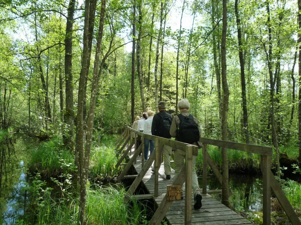
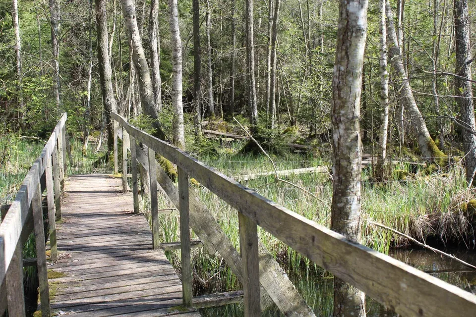 On Sommar i SkaraÖkull–BorregårdenLength approx. 4 kmStart Valle CampingThe kettle hole, lakes and swamp forest
- To the castleLength About 2,5 km one wayAround Husgärdessjön to the peninsula where Axevalla hus once stood. Look for the oak piles from 1288 in the water.
- TjursbergUp the hill that was a popular spot for festivities from the 1930s to the 1950s, with an orchid fen nearby.
- Getaryggen to VarnhemAlong the long ridge to the abbey church and Kata gård. Stop for coffee and cake in Varnhem in summer.
More trails in Valle
Seven trails in the Valle district
The Valle area by car
From Ökull, you can reach the other trails by walking a little further or driving for a few minutes. Most are easy to moderate.
- On Sommar i SkaraAround FlämsjönLength approx. 9 kmStart Flämslätt or Eahagen car parkHills, pastures, oak forest and Remningstorp arboretum with trees from across the northern hemisphere
- On Sommar i SkaraJättadalenLength approx. 5 kmStart North of Öglunda churchA steep climb through a mossy rock gorge up onto Billingen, with a cold spring and views over Valle
- On Sommar i SkaraTorpLength approx. 3 kmStart The car park between Varnhem and ÖglundaThe listed farm Torp, pastures and views
 On Sommar i SkaraHöjentorpLength approx. 3 kmStart Höjentorp castle ruinThe castle ruin, broadleaf woodland and lakes, partly on boardwalks
- On Sommar i SkaraDrottningkullenLength 2–3 kmStart The car park by the roadHilly and varied, good for a picnic
- LjungstorpLength approx. 4–5 kmStart Ljungstorp community hallUp to Billingen's steep edge. On a clear day you see the Valle district, Lake Hornborga and Kinnekulle
Some favourites along the way:
- Höjentorp: the ruin of a castle from the 1200s that burned in 1722. According to tradition Queen Ulrika Eleonora watched the fire from the hill, which is why it is called Drottningkullen (the Queen's Hill), and Carl von Linné praised the beautiful setting when he came here in 1746.
- Jättadalen and Öglunda cave: steep cliffs, pillars and large blocks of diabase, and cave-like chambers between the rocks.
- Bockaskedeåsen: the highest ridge in Valle härad, about 35 metres high and 600 metres long.
Longer hikes
- On Sommar i SkaraBillingeledenDistance About 58 kmThrough Vallebygden and up onto Billingen, with pastures and viewpoints. Passes through Ökull.
- Pilgrimsleden Falköping–VarnhemDistance About 43 kmPast two medieval abbey ruins, Hornborgasjön and several ancient sites.
- Pilgrimsleden Skara–HusabyDistance About 26 kmFrom Skara Cathedral to Husaby Church through Sörbodalen. An easy walk.
- On Sommar i SkaraRosenstigen in VarnhemDistance About 2 kmAlong Ulundabäcken, past the abbey church, old mills and Kata gård.
- Tempelbackastigen near SkaraDistance About 1,8 kmA family-friendly loop with ancient sites and Skara’s oldest oak.
At Hornborgasjön, most trails start at Naturum, about 15 km from here. Read more about the crane dance and the trails there.
The best time to hike
 Spring:
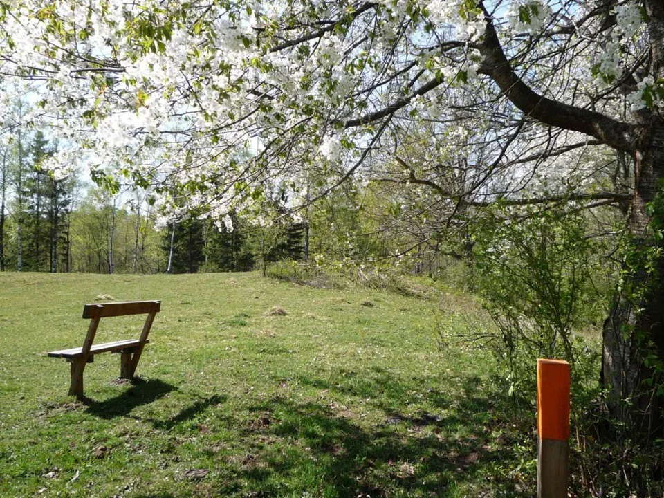
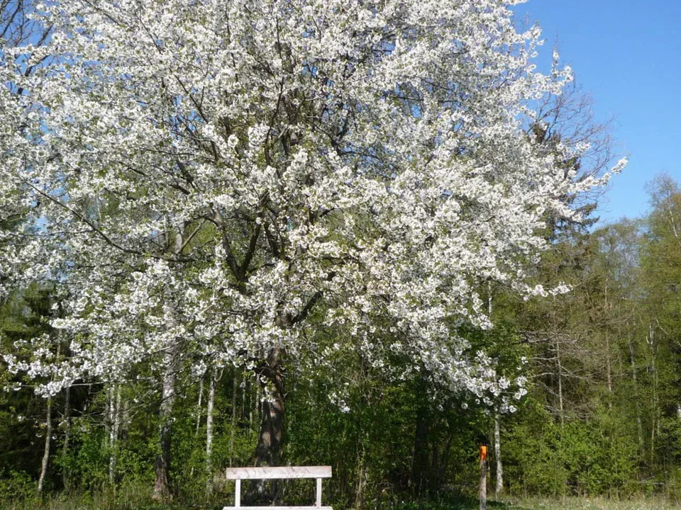
The lime-rich soil means hepaticas bloom in masses along the trails. Leave them be and take a photo instead. In May thousands of cherry trees bloom along the Billingen slope, but only for about a week, so timing matters.
 Early summer:
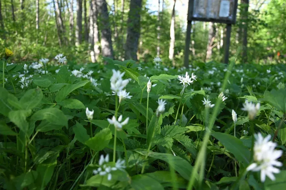
In June the groves at Höjentorp smell of ramsons, and the orchids in the fens bloom in July.
- Autumn:
The broadleaf forest turns yellow and red, and the trails are quiet.
- Winter:
The trails are open all year round. Valle Hus is also let in winter.
Frequently asked questions
Where does the hiking trail start at Valle Camping?
The trail through the Ökull–Borregården nature reserve starts on the campsite grounds, at the football goal. It is about 4 km and marked in orange.
How long are the trails in Valle?
From 2 to 9 km. Together there are over 60 km of marked trails in the Valle district, and Billingeleden is about 58 km.
Are the trails difficult?
Most are easy to moderate. Jättadalen has a steep climb.
Can I bring a dog?
Yes, but in nature reserves dogs must be on a lead.
Where can I get a map?
At reception, or as the Vallekartan from Skara municipality.
When is it nicest to hike?
In spring, when hepaticas and cherry trees bloom. But the trails are open all year round.