
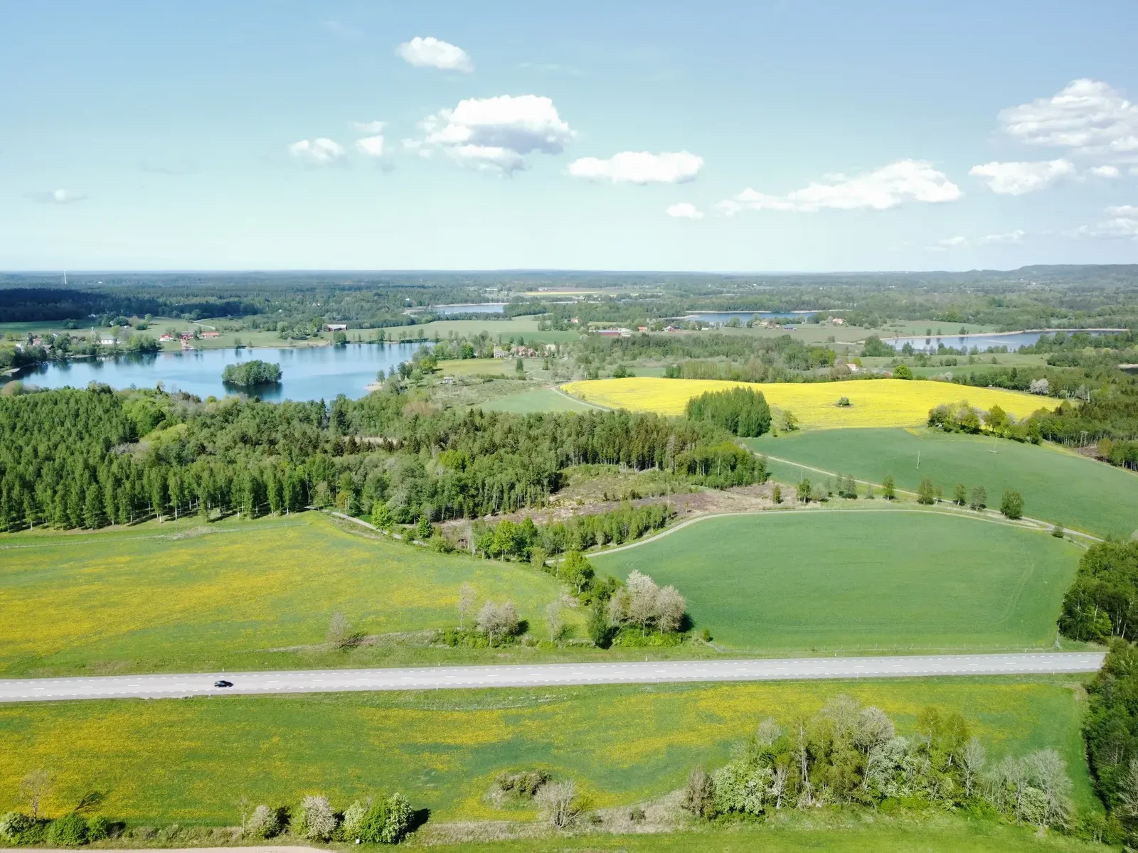
The Valle district at the foot of Billingen
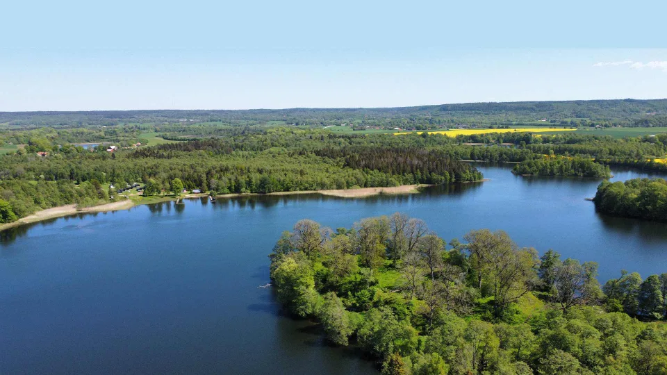
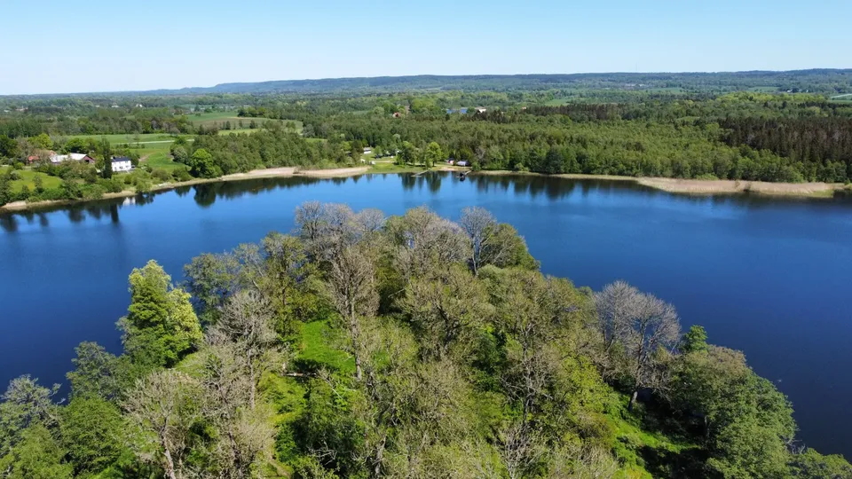
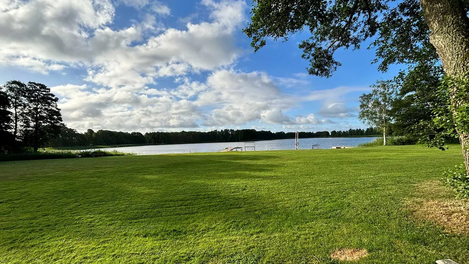
The Valle area is a landscape shaped by the ice sheet, with hills, ridges and small lakes, and behind it all rises Billingen. Here at Husgärdessjön you stay in the middle of it, with seven nature reserves within a few kilometres.
The Valle district
A landscape the ice left behind
It was the inland ice that shaped the Valle district. When it melted about 12,600 years ago it left behind hills and ridges of gravel and sand, and large blocks of ice that stayed behind and slowly melted away. Where they lay there are now small lakes and round pits. Such a landscape is called a kame landscape, and that is why there is always a new lake or hill around the next bend.
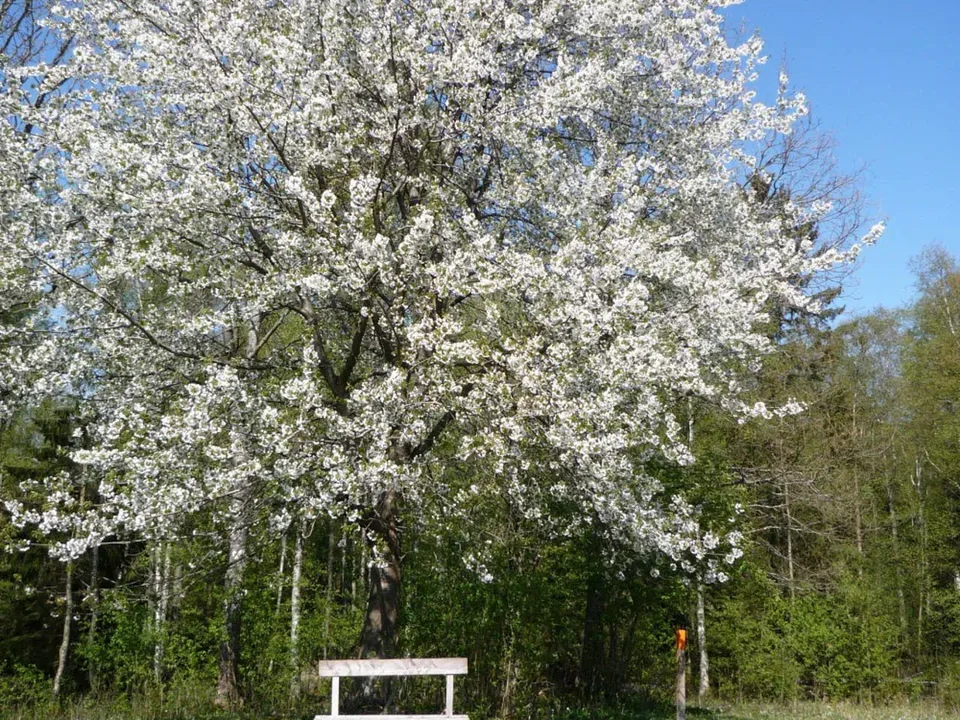
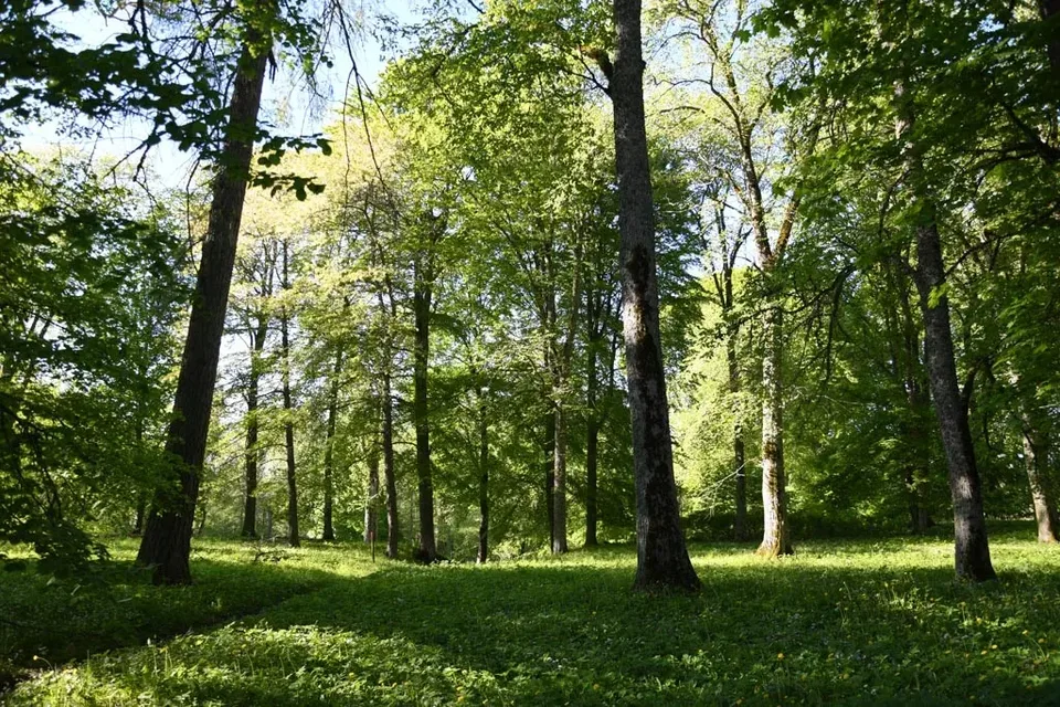
Within a few kilometres of us there are seven nature reserves, and the nearest, Ökull–Borregården, starts right next to the campsite. Much of the land has been grazed for hundreds of years, and it is the animals that keep the pastures open so the flowers thrive. In spring the hepaticas bloom in the lime-rich soil. In May the cherry trees blossom along the slopes of Billingen.
The nature reserves in Valle
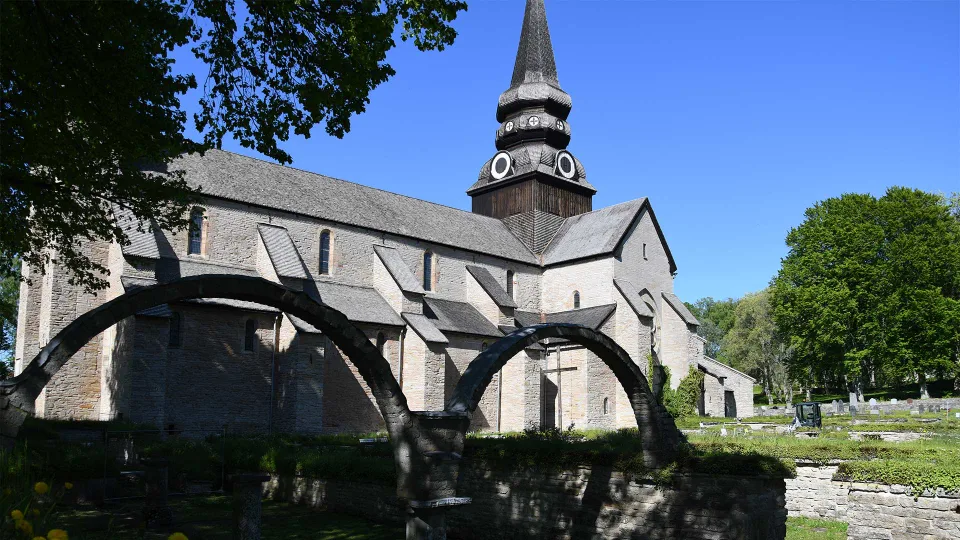
People have lived here for more than five thousand years. At Ökull there is a Stone Age passage grave, and on the point opposite the campsite stood the medieval castle Axevalla hus. In Varnhem Christian Vikings lived as early as the 900s. Höjentorp is mentioned as early as 1283, and in the 17th century there was a palace here that the royals liked to visit.
Drawing of the grave in Odens hög on Axevalla hed, opened in May 1805. Remains found in the grave in Odens hög in 1805.
The table mountains
Billingen and the other table mountains
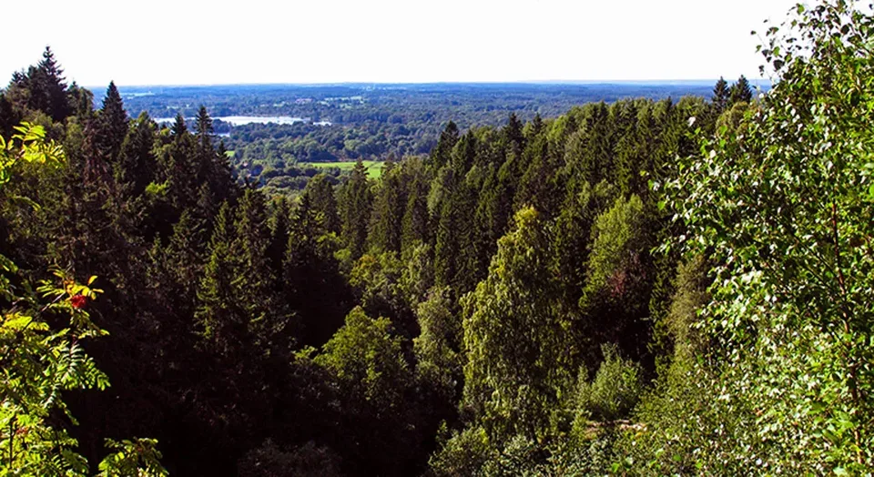
Billingen, which rises behind the Valle district, is a table mountain, and from a distance you can see that its top is flat as a table. The mountain is built in layers, a bit like a cake, of rock that formed on the sea floor several hundred million years ago, and on top lies a cap of hard diabase that has protected it from weathering. At Jättadalen you can see the diabase up close, in steep cliffs and large boulders.
The table mountains and the landscape around them are the first area in Sweden to receive UNESCO's recognition for its geology, and the Valle district and Billingen are part of it.
From Billingen and the heights around the Valle district you see several of the other table mountains. On a clear day Kinnekulle is visible to the north and Mösseberg and Ålleberg to the south, with their flat tops against the sky.
Excursions in the Valle district
What is near the campsite

More excursion tips on Sommar i Skara
Life in and around the lake
Quick facts
Where
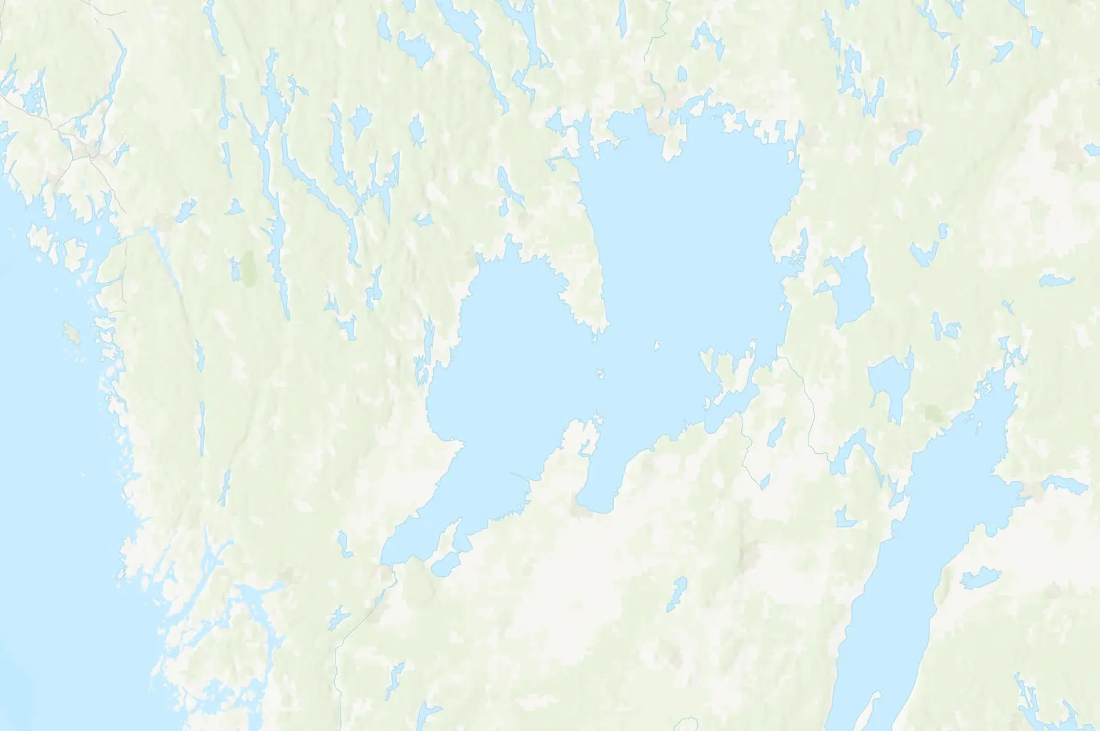
The Valle district, at the foot of the western side of Billingen, in Skara and Skövde municipalities
Landscape
kame landscape, shaped by the inland ice about 12,600 years ago
Nature reserves
Ökull–Borregården (next to the campsite), Eahagen–Öglunda meadows, Höjentorp–Drottningkullen, Torp, Bockaskedeåsen–Toran, Lycke–Lilla Höjen and the Gullakrokssjöarna lakes. Lake Hornborga a little further away.
Trails
over 60 km of marked trails in the Valle district
Table mountains in sight
Billingen, Kinnekulle, Mösseberg and Ålleberg
Frequently asked questions
Where is the Valle district?
At the foot of Billingen between Skara and Skövde. Valle Camping lies in the middle of the district, by Lake Husgärdessjön.
What is a kame landscape?
A hilly landscape of hills, ridges and small lakes left behind by the inland ice. The word comes from the Scots came, comb.
What is a table mountain?
A mountain with a flat top, built in layers of sandstone, shale and limestone with a cap of hard diabase on top. Billingen is one of fifteen table mountains in Västergötland, which together have received UNESCO's recognition for their geology.
Where can you stay near Billingen?
At Valle Camping, at the foot of Billingen, in a camping cabin, in Valle Hus or on a camping pitch.
What can you do in the Valle district?
Hike, swim, fish and visit Varnhem, Axevalla hus and Höjentorp. Skara Sommarland is 3.8 km from the campsite.